
There are still many parts of Scotland that I have not yet passed through and visited by bike, and one of them was Morayshire. Coming out the back of yet another gruellingly grim UK winter, I was keen to strike track on the bike. As well as the weather, other distractions in life have prevented me from getting out as much as I’d have really liked too, things like work getting busier, mojo dropping off, little doggo that likes many frequent walks …the list could go on – but really I just need to ‘pull my finger out’ and get on with stuff!
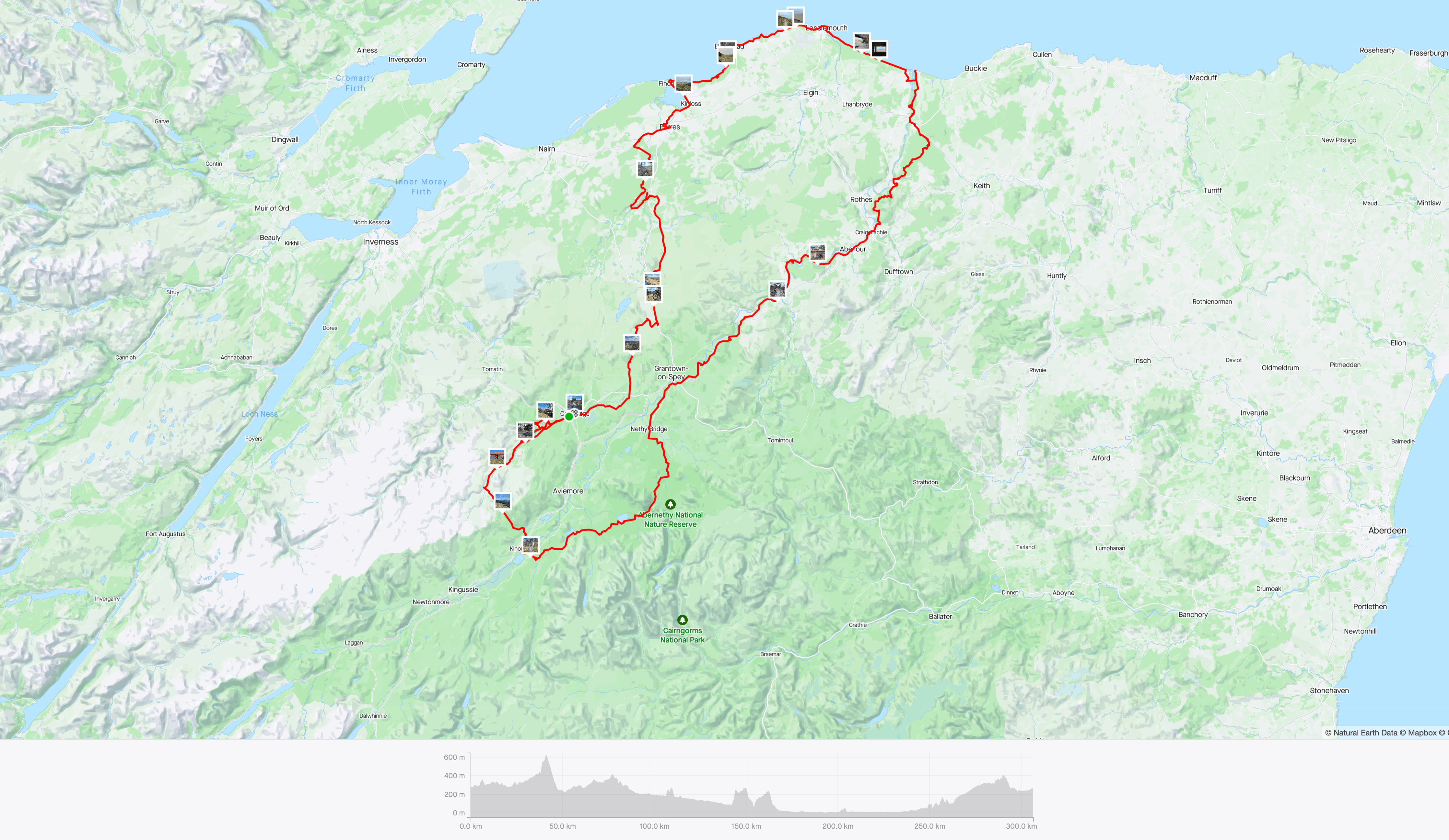
The route for this trip was part of a much bigger route that I had put together during the dark evenings of winter, my original intention had been to include some of the Great Glen to Spean Bridge and then back up Glen Roy and connect to the Spey Way. However I only had 3 1/2 days and I did not want to go to mad on the daily milage (or Km’s – as I now try to work metric), as it was early April, the daylight was only just past halfway and the temps still cool, hence a 100km/day is a reasonable amount, allowing for stops and camping chillout – which I now enjoy (and need!). The route is pictured above and it started in the village of Carrbridge, just 10km north of the bustling Aviemore, both these places are on the train line.
The route heads out of Carrbridge, past the Cemetery through some lovely forest that skirts the village and then heads up the River Dulnain.

The trees afford a little extra warmth and help keep the frost off, that was present across the Glen at sunrise. Spring time is a lovely time to venture out, as well as the birdlife and emergence of flowers and new buds, there are little to no insects – apart from the dreaded ‘Tick’, that is increasing prevalent in the UK now – and even in winter time! So be cautious, especially around bovine and deer frequented areas!

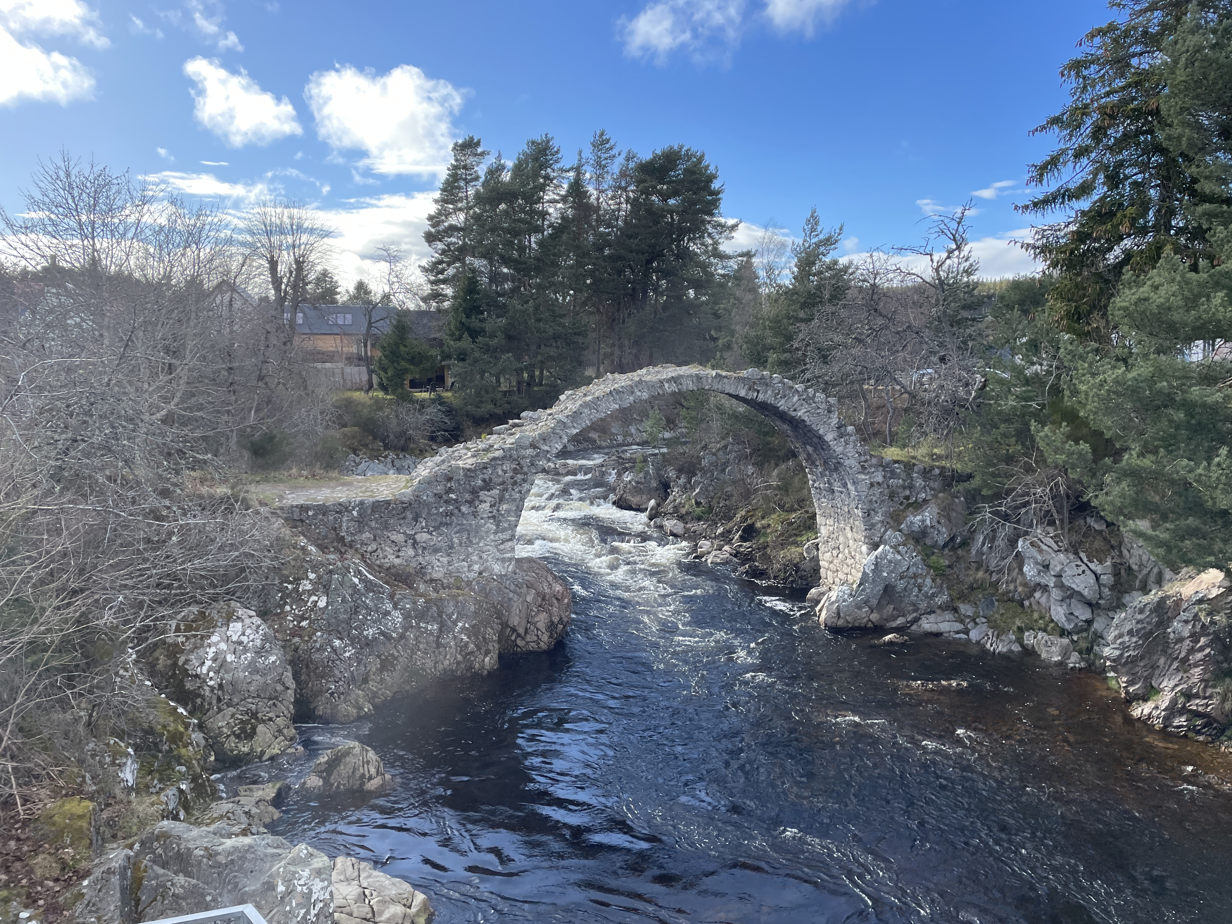
Its pleasing to see a Glen that still has many stands of Caladonian trees in and a road that soon ends, helping preserve the wild feel and keep it quiet. The Dulnain opens up eventually where the famous Burma Road comes in, over from Aviemore. You are now in Golden Eagle country! Fortunatlly I met a local chap at Sluggan Bridge and he pre-armed me with the knowledge to keep eyes peeled and suggested I ‘loiter’ at the bothy a while as they are often seen soaring high on a good day. I was lucky and glimpsed one, too far away for a picture, but so please to see one and I enjoyed a coffee!
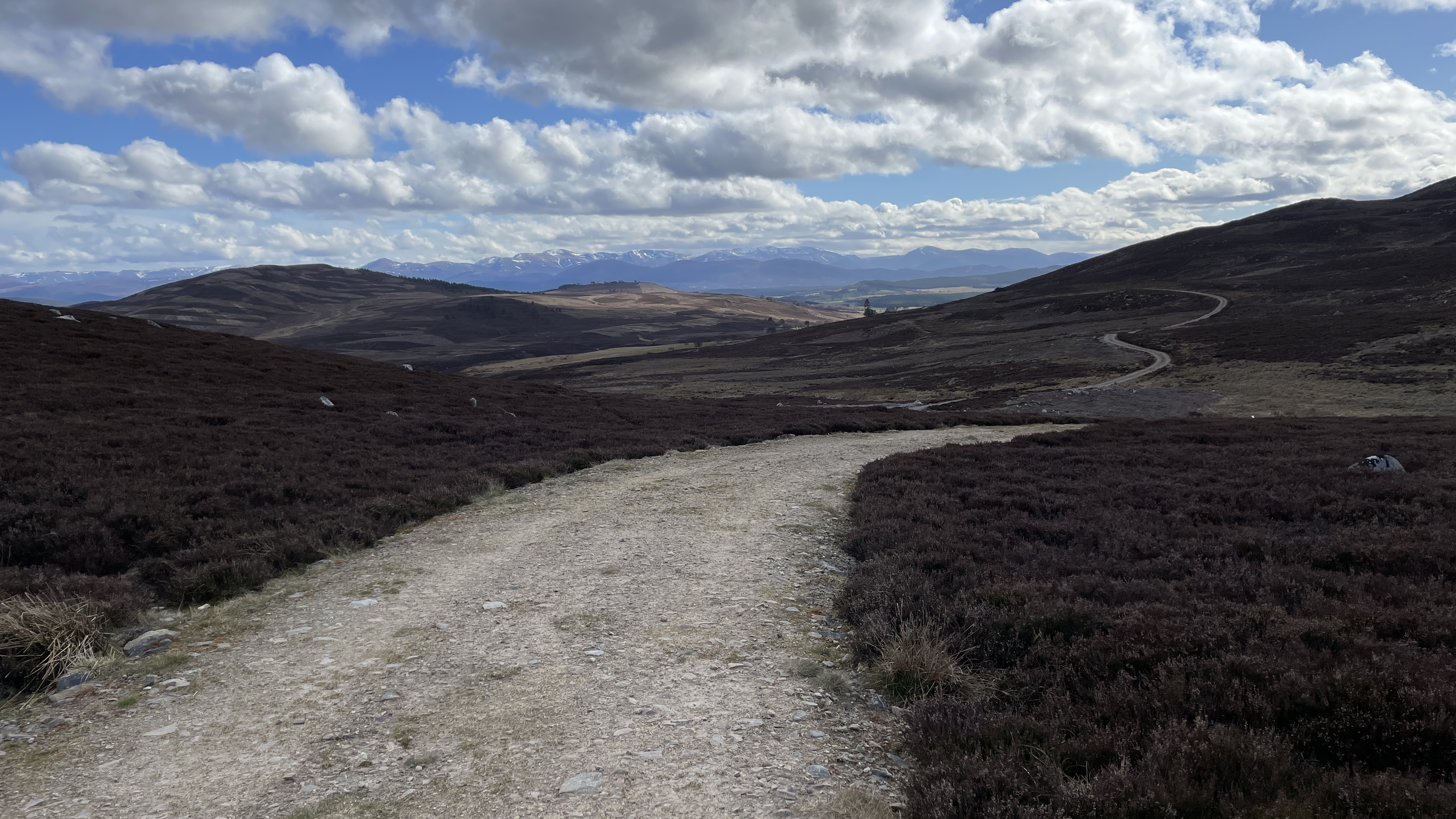
The tracks in the Dulnain at this point stop, however progress further up can still be made following un-marked sheep trods across the pasture land this leads to another track intersection, left back to Alvie Estate and Forest, or right into the desolate Monadhliath Mountains, my route went left – back to civilisation!
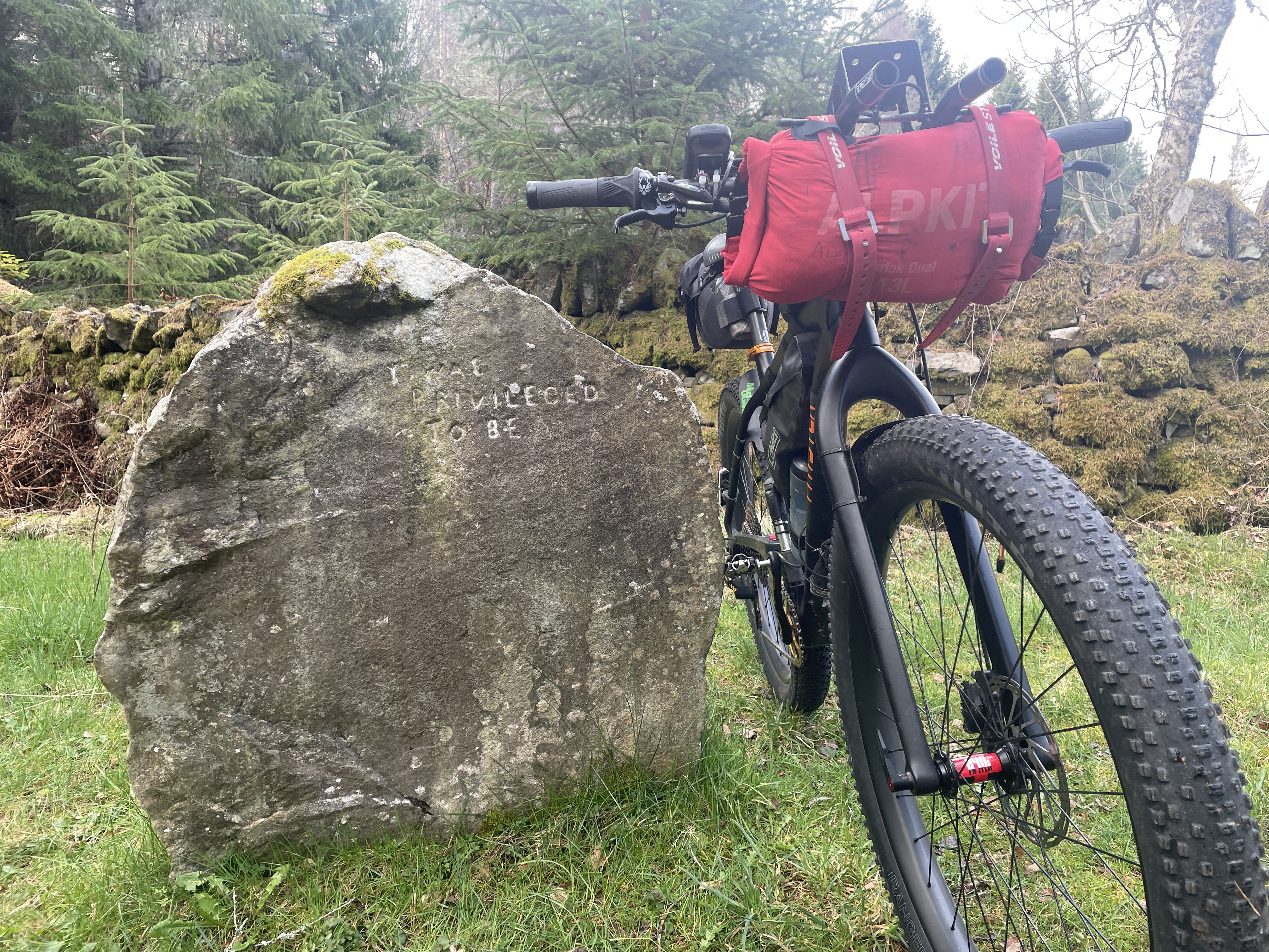
The Alvie estate has a lot to offer the rider and some single tracks can be found here, or just stick to the main dirt roads. Soon you pass the main lodge and then go under the A9, which works well, the route at this points picks up some of Spey Way, but goes up it to Kincraig and then on into the Rothiemurchus Forest, before it enters the forest at Feshiebridge, the Frank Bruce Sculpture park is well worth a visit and a good lunch spot. I like the stone pictured – it makes me feel thankful for just being able to do this sort of stuff!

The Rothiemurchus provides almost endless route options, but I head past Loch an Eilien and then on to Loch Morlich, via the ‘Cairngorm Footbridge’, these next trails are delightful and often quite popular on a sunny day, after Morlich, the Abernethy Forest comes next via Ryovan – an interesting Glen and a handy wee bothy at the top of it!
Again the Abernethy provides some interesting diversions, not least an Osprey Centre, but many other hidden gems too. After the forest the landscape opens up as you reach the mighty Spey, here the route becomes a mixture of surfaces, however much of it passes along the old Spey rail track and makes for easy progress. Whilst in yet another different landscape the scenery is mesmerising and you are afforded a a choice of Whisky Distilleries, passing these (even when closed) is super as the sweet smell of the malt radiates.


As you head downstream the landscape softens and becomes less rugged and less mountainous.

Soon the great river reaches the coast, Spey Bay – here you’ll find pebbles, people and a small cafe and Dolphin Centre.
Picture a land of clear rivers and ancient forests. A place with seals and dolphins in the bay and red squirrels in the trees, Kites and Buzzards in the sky, where historical towns dot the map and centuries-old distilleries produce world-class whisky. Somewhere to stop, look, listen, and rest a while. You’d think such a region would be heaving with tourists, but despite being a wedge of prime-grade Scottish countryside – with the Moray Firth to the north and the Cairngorms to the south – the Moray Speyside area often gets skipped over. My advice is to stop a while and explore.
Riding or Hiking, or however you make the journey, you have serious rewards in store. As well as its celebrated whisky, it has a stunner of a coastline, lined with mile upon mile of pale sandy beaches, backed by rich pine forest, surging cliffs and characterful little fishing villages, while the mighty River Spey is an attraction in its own right, flowing and frothing its way from the mountains to the coast, where it empties into wild Spey Bay.
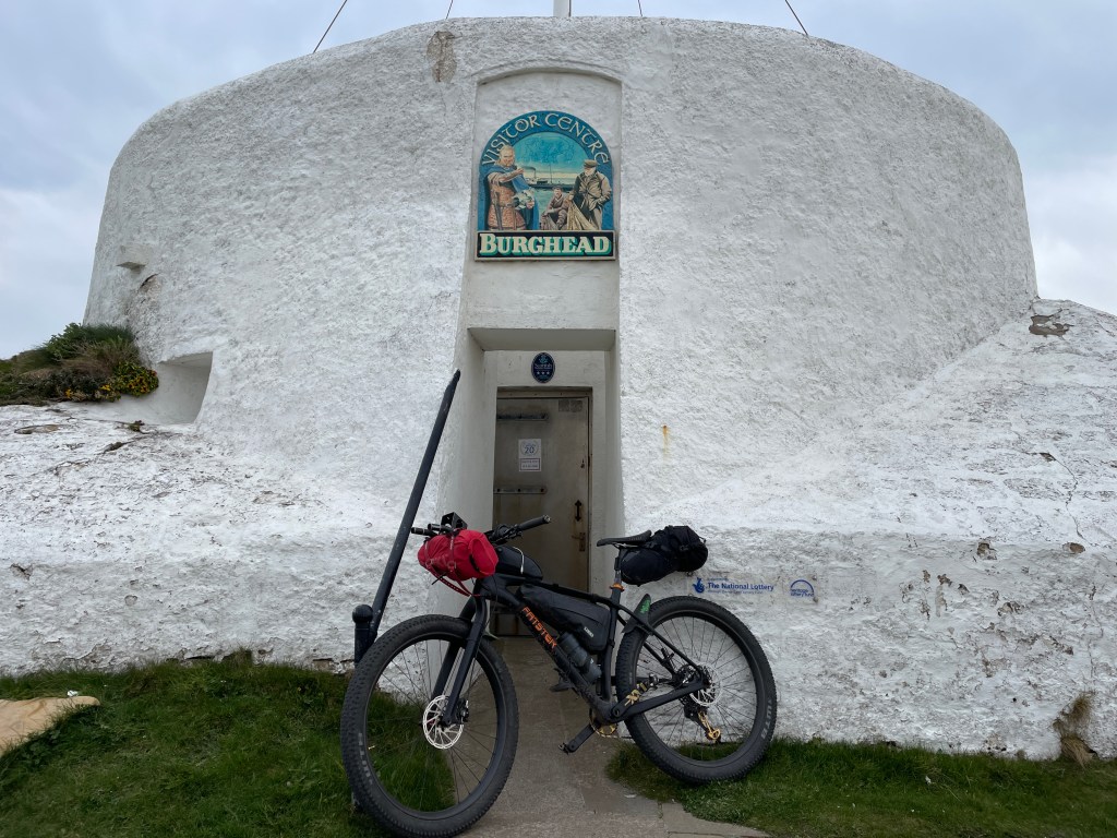
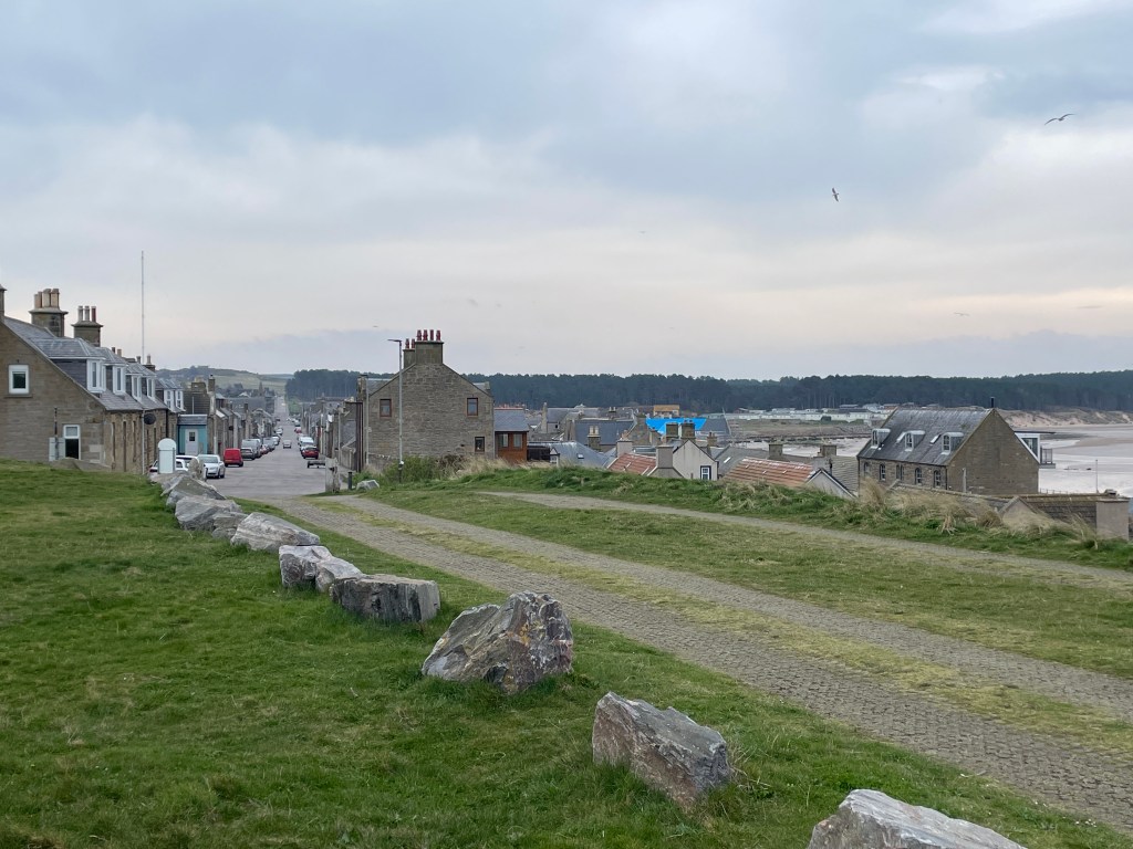
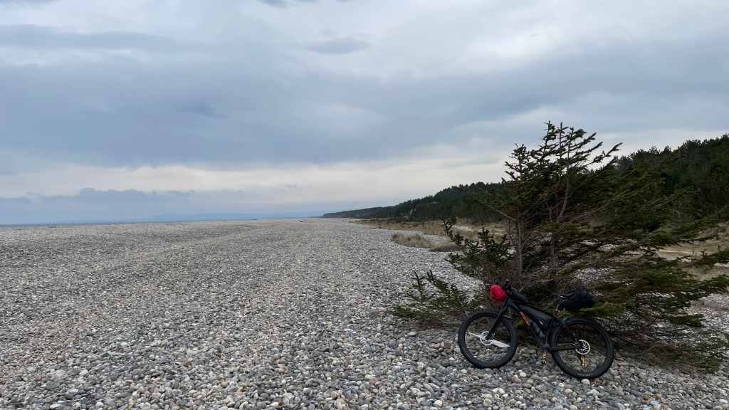

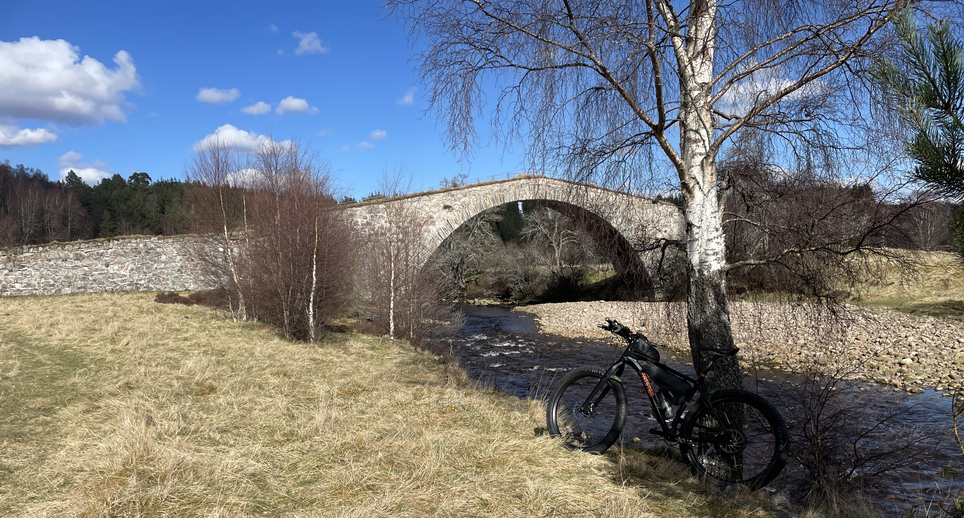
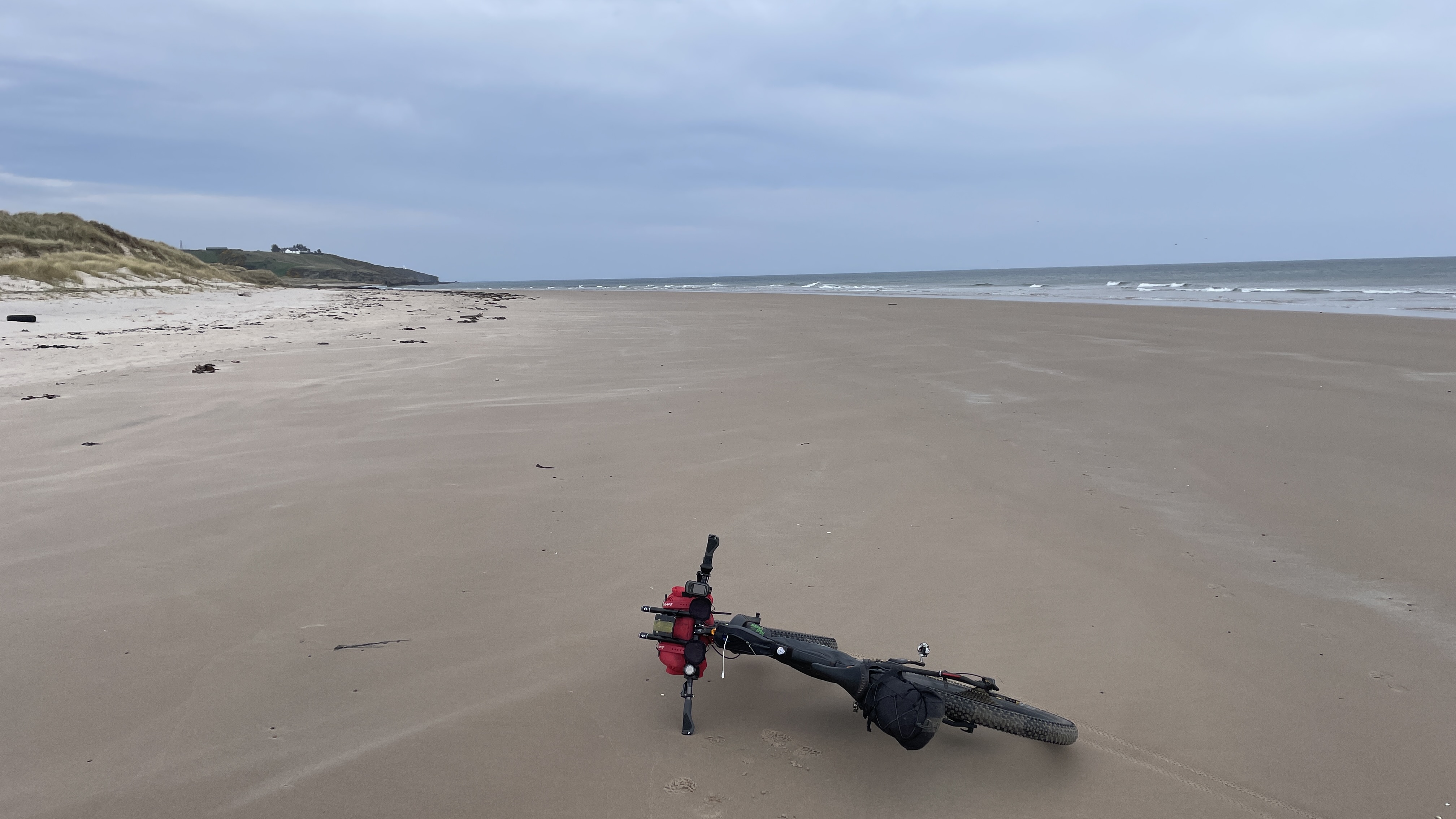
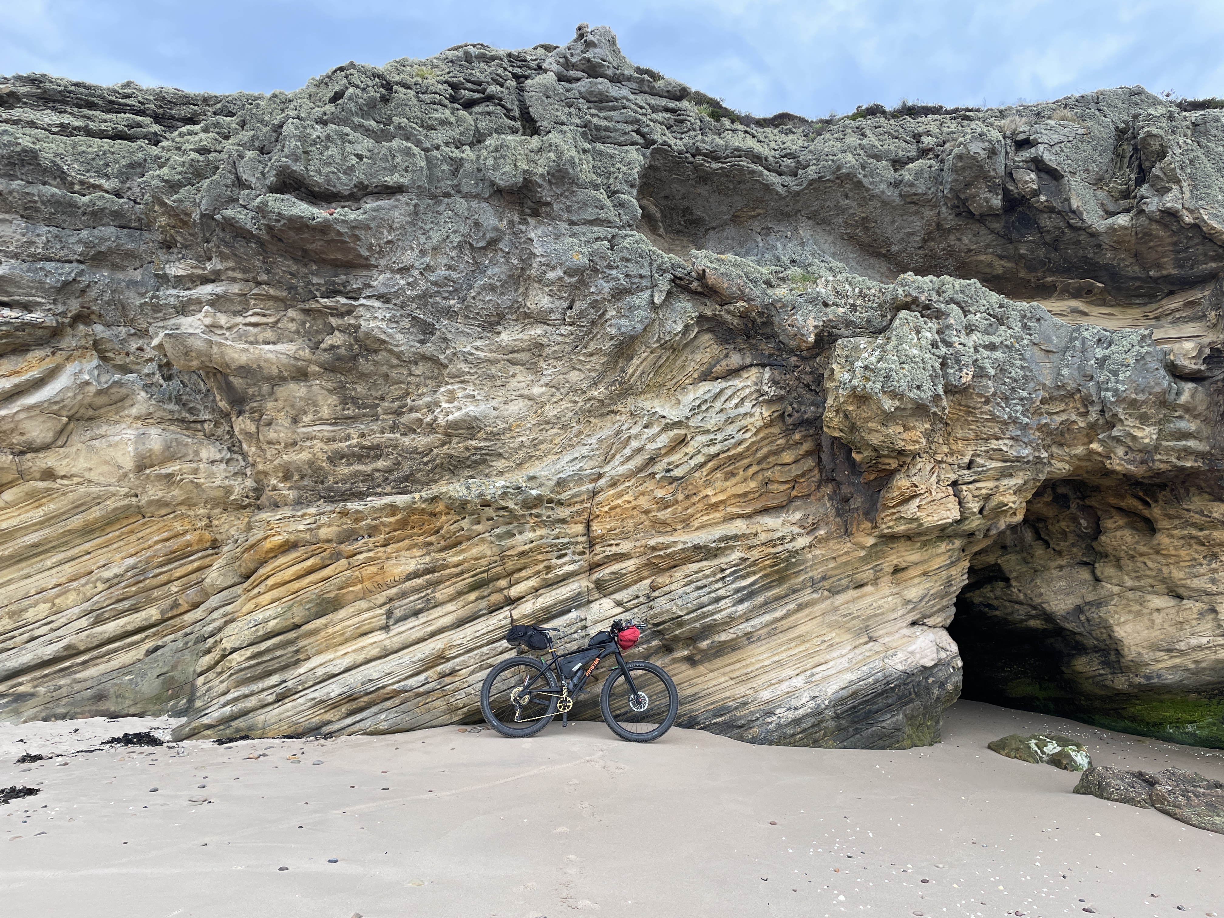
The Spey Way LDP intersects with the Moray Coastal Trail at Spey Bay and you have a choice here to do an out-n-back and head east o Cullen / Buckie, or head west over the big bridge (pictured above) and take the wild shore line, with hardly a person around. The first main town is Lossiemouth, then on the Burghead – each of these places has a variety of attractions and a range of facilities from shops, to BnBs and Pubs (plenty of ice-cream shops too!).
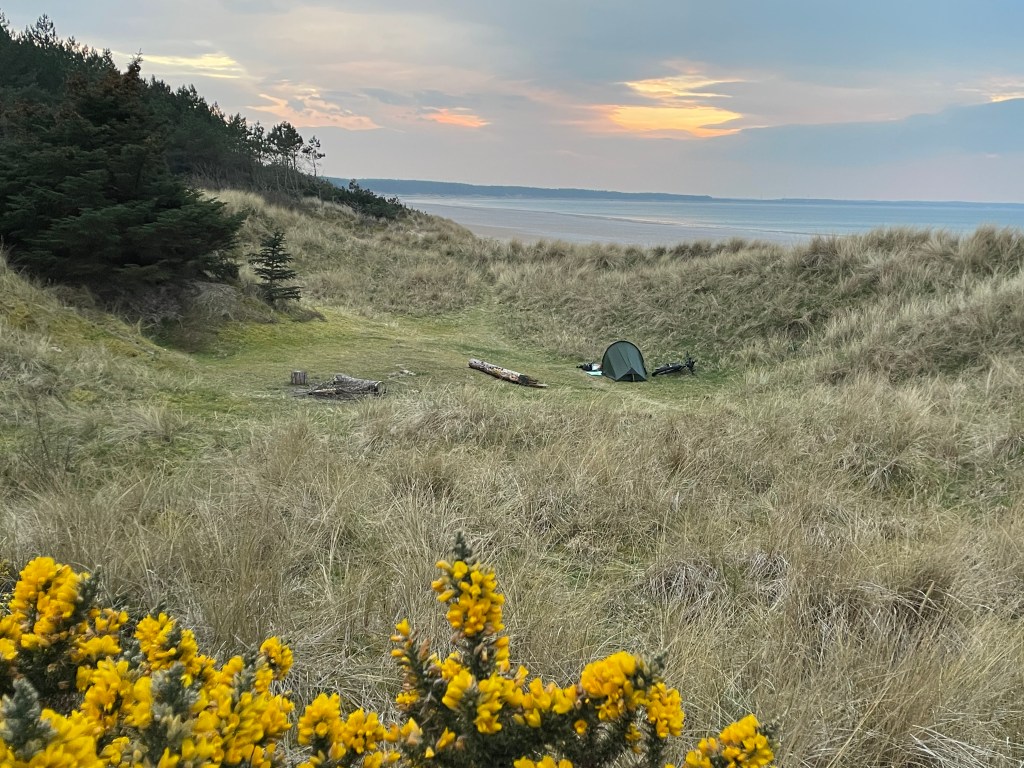


Roseisle Forest and the Burma Road that leads you into it, here you’ll get lost on miles of single-track, over the old dunes that are now planted out with pines, interspersed are nice grassy patches – the most ideal camp-spots, also pleasing to see very little mess or litter!
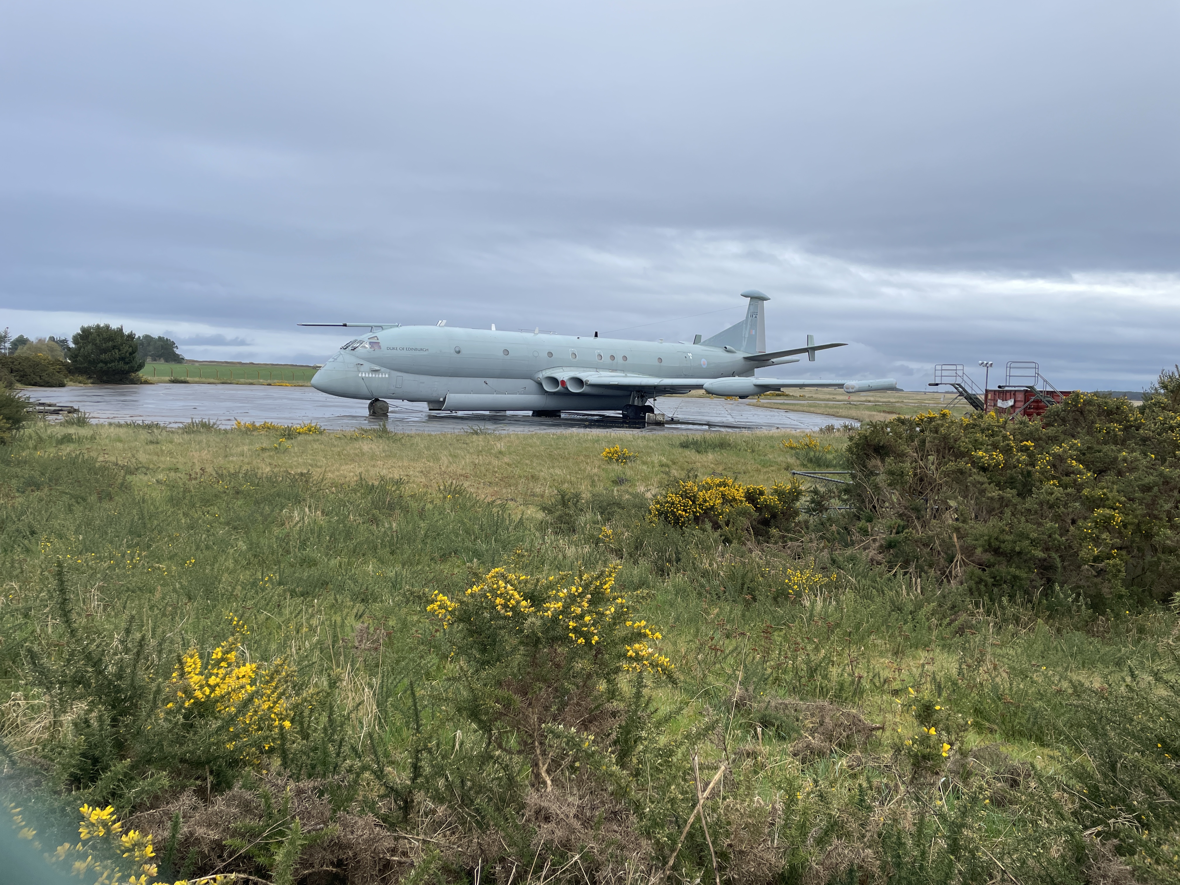
At the small village of Findhorn, near to Kinloss Airfield (pictured above with its Nimrod MR2), you tun inland towards Forres, so as to either pass the Findhorn and continue into another even bigger forrest – Cuilbin, or as I did follow the River Findhorn, up through Forrests and Gorges to meet the Dava Way.


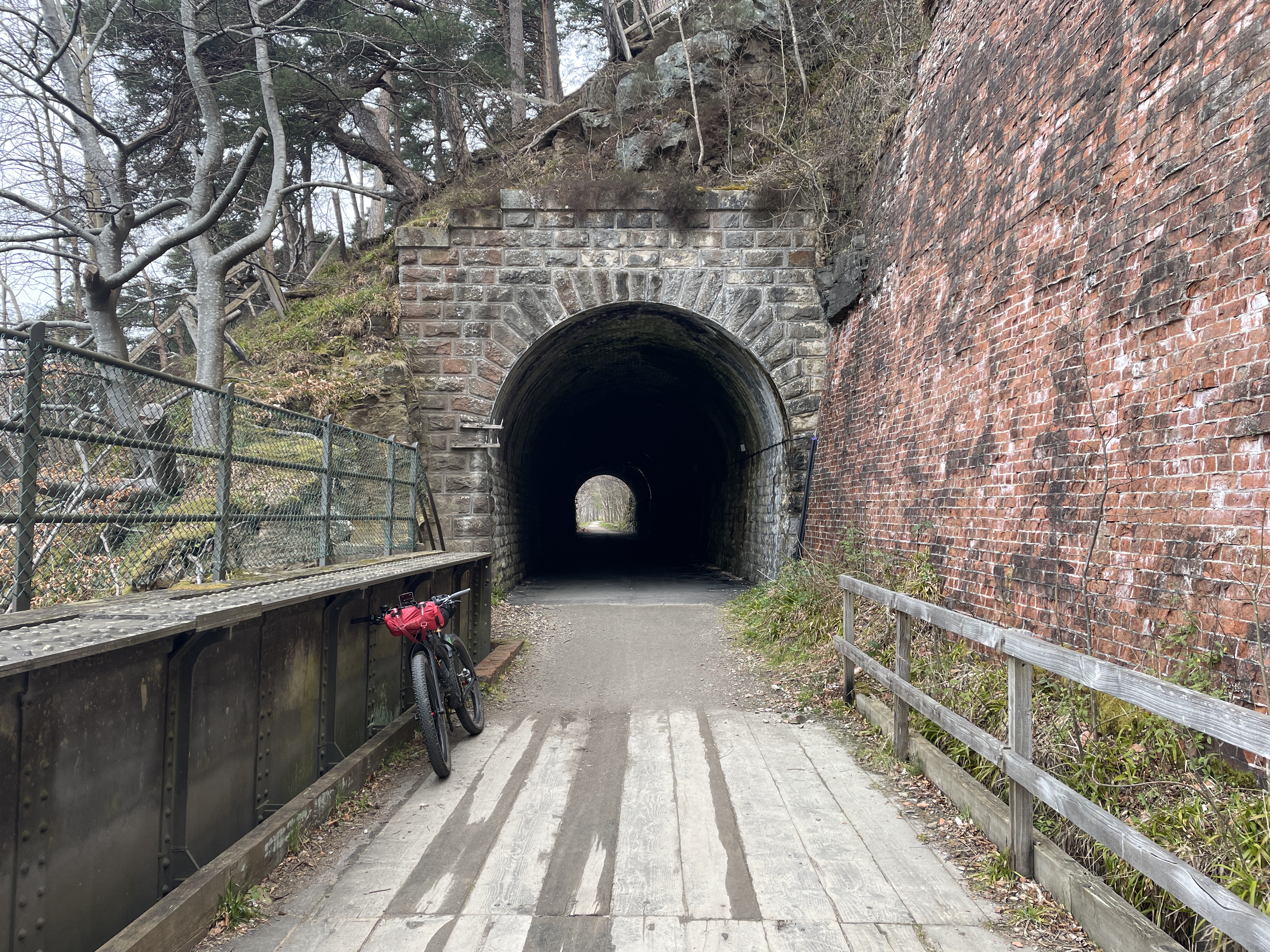
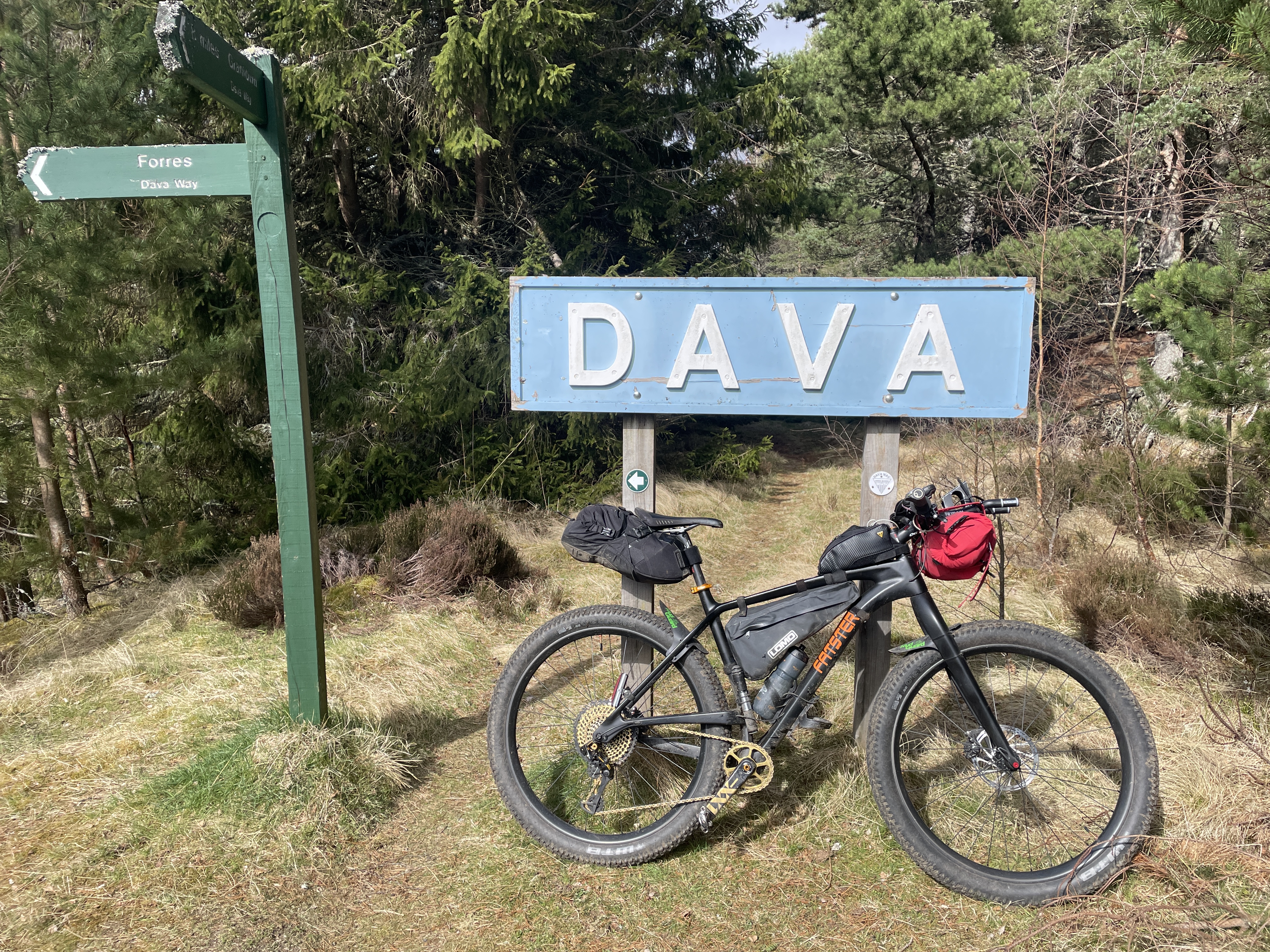
The Dava Way – yet another disused rail route, but all is not lost as it is re-purposed for bikes or hikes, this line cuts inland towards Grantown and climbs up to high and exposed ground (expect headwinds – a small saviour is the halfway hut, it will treat you to some shelter!)
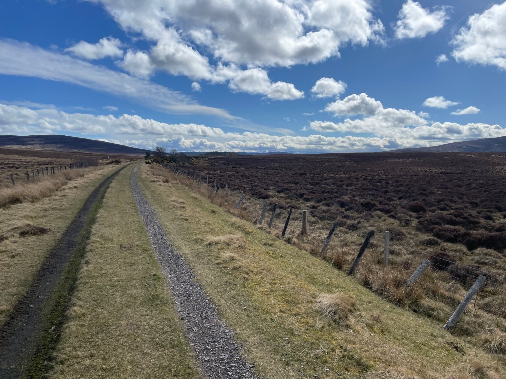

Before reaching Grantown, my route struck off to the west and on to some empty heather moorland, on a selection of beaters tracks towards Dulnain.
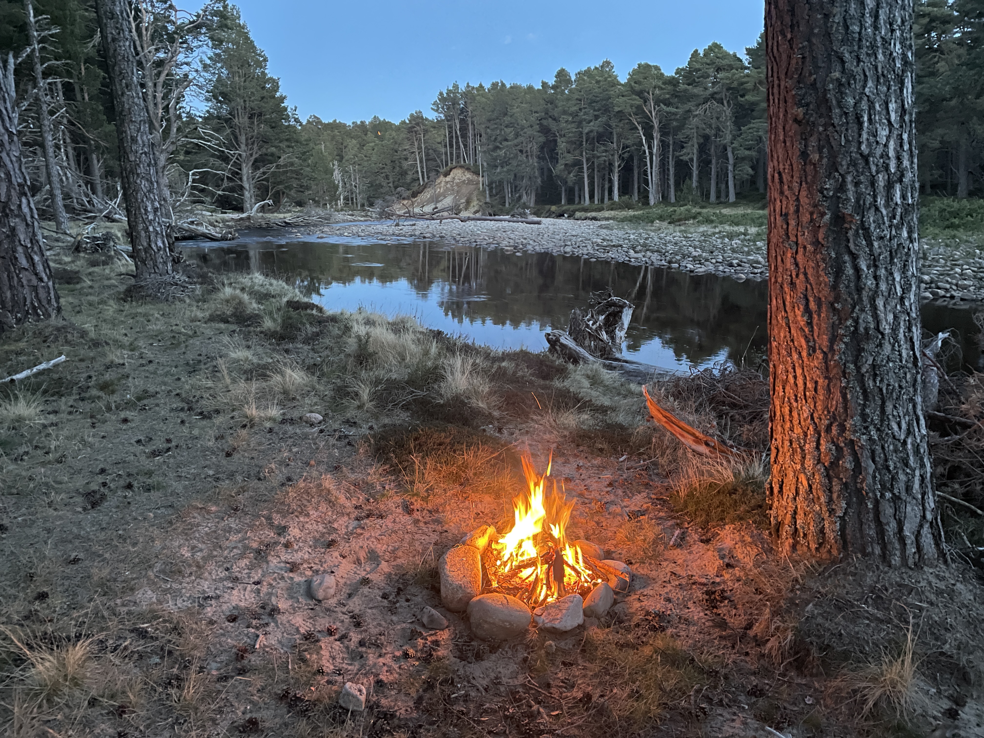
Easy riding back to Spey Valley and then onto Carrbridge – thus closing the loop and finishing this fine journey. A journey of contrasts, constant surprises and beauty, fun pedalling!
The GPX is available via: https://www.komoot.com/tour/1214416759 – or contact me.
